
Finding your family in an emergency: what works, and what fails
When something goes wrong, the first instinct is to open the family-locator app and look for the little dots. Most days, that works. But the emergencies this site is about - the ones where the power is out and the cell network is buried under everyone dialing at once - are exactly the moments those dots freeze. This is a map of every option, from the app on your phone to the plan on paper, and where each one stops working.
The everyday layer: phone-based finding
Family-location apps - Apple's Find My (and Find My Friends), Google's location sharing, and Life360 - all do the same thing: each phone reports its own GPS position up to a server, and everyone in the circle sees it on a map. For a normal day - did the kids get to practice, how far out is Mom - they are useful, and the free ones from Apple and Google are all most families need. Life360 adds crash detection and history for a subscription.
They also share one fatal weakness: every dot on the map depends on that person's phone being powered, in signal, and on a working network - all at once. Phone dead? Dot frozen. Tower congested or down? Dot frozen.
Trackers: AirTags and their rivals
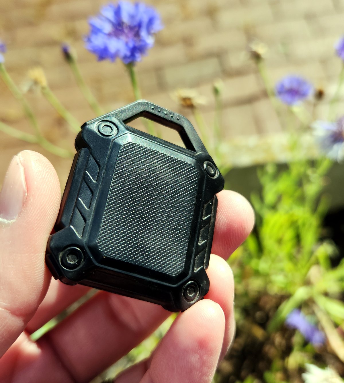
A tracker tag fixes one of those failure points. An Apple AirTag (Amazon) and its rivals have no GPS and no cellular of their own - each is a tiny Bluetooth beacon. It gets located by other people's phones passing nearby, which stamp it with their GPS and relay it over their connection. Roughly a billion iPhones do this silently, in the background.
That crowd-sourcing buys real resilience the apps do not have: a tag keeps getting found even if the person carrying it has a dead phone - or is a small child, or can't work a device - and it runs about a year on a coin cell with no charging. The tag itself is a bare disc with nowhere to attach it, so a cheap case or holder (Amazon) is what actually clips it inside a kid's coat or onto a bag.
Buy the one that matches your family's phones:
| Your family's phones | Best tracker | Finding network |
|---|---|---|
| All Apple | AirTag | Biggest and densest - fastest finds in the US |
| All Samsung Galaxy | Samsung SmartTag | Galaxy devices only |
| Android | Google Find My trackers (Chipolo, Pebblebee) | Newer, growing fast |
| Mixed iPhone + Android | Tile | Works across both, but a smaller network |
AirTag has the biggest, densest finding network but only works if you own Apple devices to set it up and view it. Tile works across iPhone and Android - the right pick for a mixed household - but its own network is far smaller, so finds are slower. (One safety note: Apple and Google now make each other's phones warn you if an unknown tag is traveling with you - that is anti-stalking detection, not a way to use an AirTag from an Android phone.)
The wall every one of them hits
All of the above - apps and tags alike - still ride the cell and internet backbone. A tag's location only reaches you if a passing phone can upload it and you can pull it up. So in the emergencies that matter most:
- A widespread outage - storm, quake, grid failure: the passing phones can't report and you can't check. The top layer goes dark together.
- Low-density or remote areas - a rural evacuation route, the backcountry, a depopulated disaster zone: there are no strangers' phones to relay anything. A tag out there is invisible.
The crowd-sourcing did not remove the network dependency. It just moved it onto other people's phones. When the network itself is what failed, none of it works.
The layer that actually finds your family
When the dots freeze, finding each other stops being a technology problem and becomes a plan problem.
A rendezvous point, agreed in advance. The single most reliable "find my family" tool ever invented is everyone knowing where to go when they can't reach each other: a primary meeting spot near home, a backup outside the neighborhood, and an out-of-area contact everyone tries to check in with. Write it down. The Family Comm Plan builder makes the printable version in five minutes.
Two-way radio to coordinate. When you can't call or text, a pair of FRS or GMRS radios lets a separated household actually talk - "I'm at the backup spot, where are you" - with no tower involved. Agree in advance on when to listen so you don't both key up at different moments: the 3-3-3 radio plan - channel 3, every three hours - is the convention built for exactly this.
Satellite messengers - the Rolls-Royce, for when everything else is gone. The one device that keeps working when there is no cell for a hundred miles is a satellite messenger - a Garmin inReach (Amazon) or similar. It talks to satellites, not towers, so it works anywhere on Earth: two-way text plus an SOS button that reaches search-and-rescue. Nothing else on this page can send "I'm okay, here's where I am" when the grid is down.
It is the premium pick, and priced like one - a serious device plus a satellite plan you keep active - so it is built for people who spend real time past the edge of coverage: hikers and hunters, boaters, rural and ranch families, storm country. If you rarely leave cell range, the rendezvous plan and radios above already have you covered; if off-grid is part of your life, this is the one to own. For the SOS half without a subscription, a one-way personal locator beacon is the simpler cousin.
The bottom line
Buy a tracker tag - it's the best tool for the ninety-five percent of moments that are inconvenient, not catastrophic, and it's cheap. But don't mistake it for a disaster plan. The five percent that actually matters is won on paper and radio waves: a written rendezvous plan, a pair of radios, and - if you want to reach past the dead zone - a satellite messenger.